Editor of Trialoog
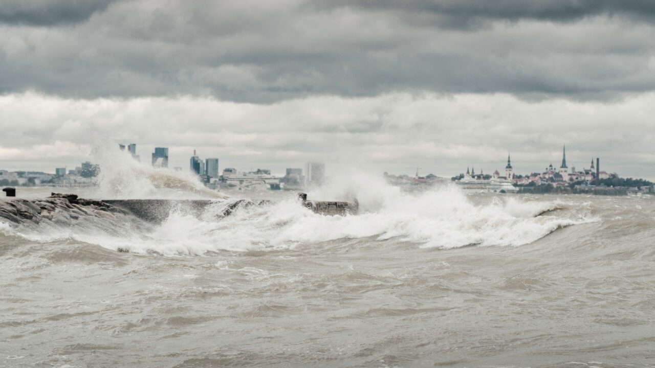
When a severe storm drives up coastal water levels, every hour counts: the earlier the danger is detected, the more time ports and shipping operators have to prepare or respond. As part of Europe’s Destination Earth initiative, TalTech’s Department of Marine Systems was tasked with developing a solution to identify such rises early, assess their possible extent and, where necessary, produce a much more detailed forecast for the area.
A sudden, short-lived rise in sea level caused by strong winds is known as a storm surge. Researchers at TalTech’s Department of Marine Systems, working with the Slovenian meteorological service ARSO, developed a deep-learning forecasting system that helps assess possible changes in water level and the confidence of the forecast.
The work formed part of the On-Demand Extremes Digital Twin project within Europe’s Destination Earth initiative. The project is developing a system that can run very-high-resolution numerical weather models for selected areas when weather hazards arise, using them to produce more detailed impact and marine forecasts. Its aim was to connect the detection of extreme weather, detailed forecasting and assessment of potential impacts into a single workflow.
According to project coordinator Theo Schoebel at France’s national meteorological service, Météo-France, TalTech was invited because of its experience in marine forecasting and storm surge modelling. “TalTech had two main development roles. First, the team tested how high-resolution weather forecasts could improve predictions of sea levels and storm surges. Secondly, TalTech applied a storm surge detection and forecasting model within the project,” Schoebel explained.
Computing power where the danger arises
Modern global weather forecasts cover the entire planet and therefore cannot describe every island or coastal inlet in equal detail. Rivo Uiboupin, Director of TalTech’s Department of Marine Systems, says large-scale weather forecasts have limited detail, describing conditions at a resolution of around nine kilometres. Along coasts and around islands, that is insufficient.
When danger arises, Destination Earth allows forecasts to focus on a smaller area and describe an extreme weather event there in much greater detail. Islands, coastlines and terrain can then be represented more accurately. In Estonia, this matters around small islands, among other places, where local conditions can influence wind, rainfall and thunderstorms.
Continuously calculating ultra-high-resolution forecasts for all of Europe would be impractical. On-demand modelling therefore directs additional computing power towards areas where a potential hazard has been identified. “If a potential extreme event is detected in an area, such as very high or low water levels, a much more detailed meteorological model can be run for that region,” Uiboupin explained.
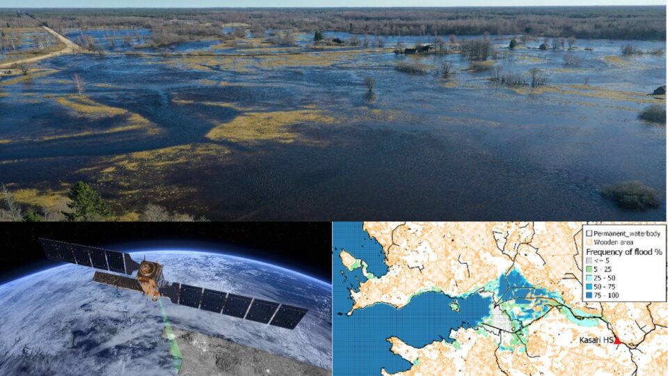
High-resolution models are not limited to predicting sea levels. They can also improve forecasts of heavy showers and associated flooding. “For example, the high-resolution model developed within the European weather forecasting project DEODE refined rainfall forecasts several times this summer and also indicated a flood risk during the flooding in Pärnu in early September,” Uiboupin said.
“For example, the high-resolution model developed within the European weather forecasting project DEODE refined rainfall forecasts several times this summer and also indicated a flood risk during the flooding in Pärnu in early September.”
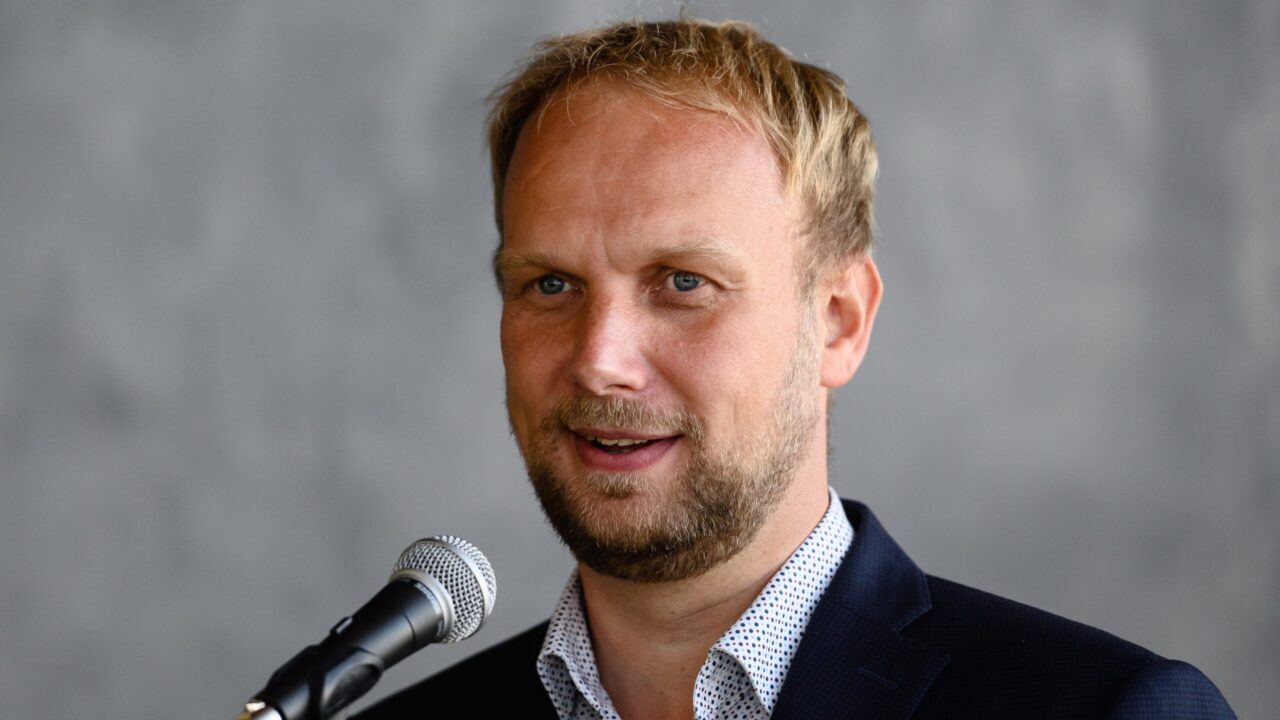
Rivo Uiboupin, Director of TalTech’s Department of Marine Systems, says high-resolution models can focus on the area where a more precise forecast is needed when danger arises. This summer, he says, the DEODE model improved rainfall forecasts on several occasions and indicated a flood risk in Pärnu in early September. Photo: TalTech
AI provides a rapid initial assessment of flood risk
Marine forecasts currently rely mainly on physical models, which calculate currents, temperature and salinity as well as water levels. They provide extensive information, but require substantial computing power for each forecast.
The deep-learning model used by TalTech was trained on historical water-level measurements from coastal stations and weather forecasts to predict water-level changes over six days. Once trained, it can produce new forecasts at much lower computational cost.
AI does not replace a physical ocean model. One of its roles is to provide a rapid initial assessment: detecting potential danger and helping determine where to run a far more detailed and computationally intensive model. “A rapid AI-based forecast helps identify a possible storm surge early, assess its likelihood and activate a more detailed forecasting system where necessary,” Uiboupin explained.
By the end of the project’s second phase, the solution was operating in the Adriatic Sea and at selected stations along Estonia’s coast. Each morning, the extremes-detection workflow downloads new ensemble forecasts from the European Centre for Medium-Range Weather Forecasts (ECMWF) and the latest coastal measurements from the Copernicus Marine Service’s observation database. It then produces fifty possible water-level trajectories for the following six days. This allows not only the most likely outcome but also the risk of extreme water levels to be assessed.
Weather forecasting is not the end of the chain. “The resulting data can also feed into impact models that assess risks such as flooding, wildfires, frost damage to crops, or risks affecting wind and solar power generation,” explained Ilja Maljutenko, Senior Researcher at the department. TalTech tested the forecasts in Estonia’s coastal waters to predict storm surges and high and low water levels.
Estonian marine expertise becomes part of a European system
TalTech’s contribution extended beyond technical development of storm surge forecasting. France’s national meteorological service also highlighted the researchers’ initiative and engagement with potential users. “We particularly valued our TalTech colleagues’ proactive approach, both in developing technical solutions and in demonstrating what the data could offer at different stages of the project,” Schoebel said.
In Schoebel’s view, the collaboration also demonstrated Estonian researchers’ ability to contribute to major European developments. “When the application need is clearly defined, Estonian researchers can bring specialist knowledge, flexibility and a strong practical focus to a project,” he said.
The collaboration also benefited TalTech. Researchers gained access to Destination Earth data, tools under development, new data-transfer solutions and other forecasts of extreme weather. This enables TalTech to test new European solutions early, connect them to its own marine forecasting models and bring proven technologies to Estonian users more quickly.
“A rapid AI-based forecast helps identify a possible storm surge early, assess its likelihood and activate a more detailed forecasting system where necessary.”
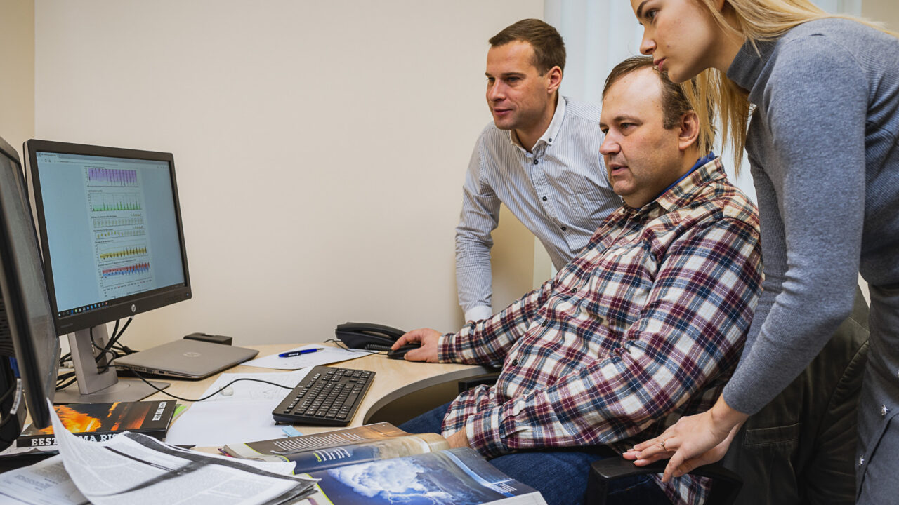
Uiboupin says the department’s expertise extends beyond running forecasting models. Researchers can combine observations, forecasts and AI to develop a specific service. In his view, the opportunity to turn high-quality scientific data into everyday decision tools remains underused. Photo: TalTech
Forecasts must inform decisions
The project’s second development phase ended in spring 2026, but work continues in a third phase. The focus is now on improving reliability and extending the solution tested along the Estonian and Slovenian coasts to other European coastal regions.
One next step is to introduce simulations of what-if scenarios. These could assess, for example, how high the sea might rise during a severe present-day storm surge if the projected increase in mean sea level by 2100 were added. Such information would help ports, local authorities, rescue services and critical infrastructure operators assess the situations they must prepare for.
Maljutenko says marine forecasts also have considerable untapped potential to support everyday maritime decisions. Last winter, TalTech provided operational ice-drift forecasts. Feedback from ports and shipping operators indicated that these could help plan shipping routes, icebreaking and other marine operations. Even within maritime sectors, he noted, it is not yet widely known that water levels, currents, waves and ice movements can already be predicted fairly accurately several days ahead.
The obstacle is therefore not always a lack of data. High-quality regional forecasts often exist, but potential users do not know about them, or the information is not presented in a suitable form. “Developing an accurate model alone is therefore not enough. Model forecasts must be translated into decision-relevant information for a specific sector,” Maljutenko said.
A ship’s master may need the direction and speed of ice movement, while a port may need a forecast of critical water levels. High-resolution weather forecasts are also useful on land, for example by helping electricity network operators assess the likelihood of strong winds and thunderstorms.
Uiboupin sees further untapped opportunities for cooperation between businesses, public authorities and researchers. “Businesses and organisations should be more willing to approach researchers with specific problems and ask whether existing marine, weather or climate data could be used to create the forecast or risk indicator they need.”
The department’s expertise extends beyond running forecasting models, Uiboupin says. Researchers can combine observations, forecasts and AI to develop a specific service. In his view, this final step — from high-quality scientific data to an everyday decision-making tool — remains underused.
“Businesses and organisations should be more willing to approach researchers with specific problems and ask whether existing marine, weather or climate data could be used to create the forecast or risk indicator they need.”